GEOPHYSICAL SERVICES
Although we specialise in GNSS positioned Gravity Surveys, we do like to dabble in all things geophysical. We offer our clients a selection of geophysical techniques to complement their exploration efforts, and we often provide tailored, bespoke techniques not commonly available. We like a challenge, so if there is a particular technique we can help engineer a solution for, please let us know.
GRAVITY SURVEY
The gravity method is a passive, non-invasive geophysical technique involving the precise measurement of the Earth’s gravitational field at specific locations on the Earth’s surface. Careful processing and imaging of these measurements provide for the detection of subtle gravity changes due to lateral variation in subsurface density. Earth scientists can therefore use gravity data to make inferences about Earth’s density structure.
The gravity method can be used to detect density variation on all scales; from microgravity surveying for natural or man-made voids, to prospect scale surveying for ore deposits, to space-borne surveying to characterise the shape of the Earth’s core.
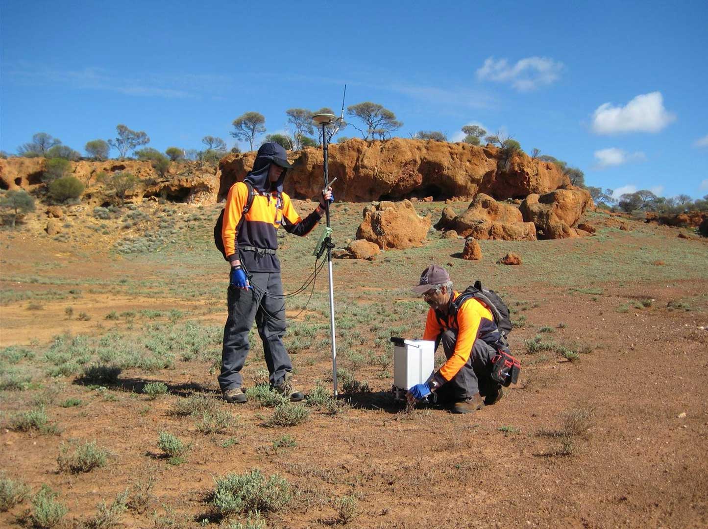
Atlas Geophysics specialises in ground based gravity surveying from microgravity (10s of m) to regional (100s of km) scales. Gravity is our bread and butter. It’s what we are good at and accounts for most of our business activity. Our gravity survey capabilities include:
Spacing
0.5m – 10m
Spacing
10m – 100m
Spacing
100m – 1000m
Spacing
1000m – 10,000m
Magnetics Airborne & Ground
Similarly to gravity surveys, the magnetic method is also passive but instead involves the precise measurements of the Earth’s magnetic field. Typically the total magnetic field and/or vertical magnetic gradient is measured. Magnetism is, just like gravity, a potential field. Anomalies in the earth’s magnetic field are caused by induced or remanent magnetism. Induced magnetic anomalies are the result of secondary magnetisation induced in a ferrous body by the earth’s magnetic field. The shape, dimensions, and amplitude of an induced magnetic anomaly is a function of the orientation, geometry, size, depth, and magnetic susceptibility of the body as well as the intensity and inclination of the earth’s magnetic field in the survey area.
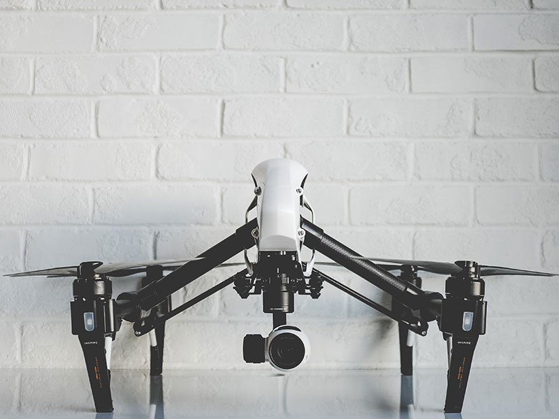
Atlas Geophysics can conduct ground based magnetic surveys in any type of terrain, but we recommend utilising our latest UAV/drone based magnetic survey system through our sister company, Pegasus Airborne Systems.
IF YOU NEED AN AIRBORNE SOLUTION TO YOUR GROUND BASED PROBLEMS
We can help too
Passive Seismic / Tromino
This method relies on the Earth’s own seismic noise, rather than an active seismic source. We can measure vibrations from low frequency noise caused by wind, waves, and anthropogenic activities using hand portable seismometers. We can then analyse the recorded vibration data in the frequency domain and use the spectral ratio of the horizontal and vertical measured components (H/V) to determine thicknesses of lower shear wave velocity layers overlying faster ones. This is especially useful for determining the cover/regolith thickness, and also for finding palaoechannels. This technique is very inexpensive, fast to acquire and yields good results given favourable geological terrains.
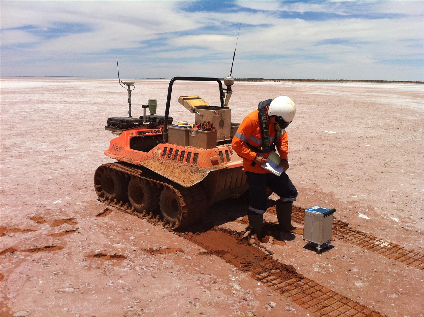
Atlas owns and operates Tromino portable seismometers and has developed custom software to better handle and process the response data. We find UTV based acquisition most cost effective as far as production goes, but surveys can also be carried out using tracked vehicles, on foot or using helicopters.
Geophysical Processing, Gridding, Imaging & Manipulation
All data we acquire is processed in house, using our own custom software which is written for task to allow rapid turn around of results, and for tight QA/QC. Check the Technologies page to read up on some of the software we’ve developed since inception. We can also process client data using a multitude of commercially available packages. Our processing capabilities include:
- Gravity reduction, terrain corrections, merging
- Ground and airborne magnetics – raw to image
- Advanced gridding and image filtering
- Image processing and map production
- GIS integration and visualisation
- Aerial photogrammetry, orthomosaicing, DEM generation
- 3D Modelling of gravity and magnetic data
- Seismic refraction and reflection
- Passive seismic manipulation and processing. Generation of pseudo depth plots and depth to basement grids
- Custom software development.
If we haven’t got a bit of software to do the job, we will write it!
CONTACT ATLAS
If you have any questions regarding what we offer or how we can help your situation, please feel free to give us a call, send an email, or fill out the form below.
POSTAL ADDRESS
PO Box 1049
Morley WA 6943
MAIN OFFICE
Western Operations
38/515 Walter Rd E, Morley WA 6062
(08) 6278 2898
KIMBERLEY OFFICE
North Western Operations
PO Box 1092
Broome WA 6725
(08) 6278 2898
SA OFFICE
Central & Eastern Operations
PO Box 284 Morphett Vale SA 5162
(08) 7070 8088
NT OFFICE
Northern Territory & Queensland Operations
